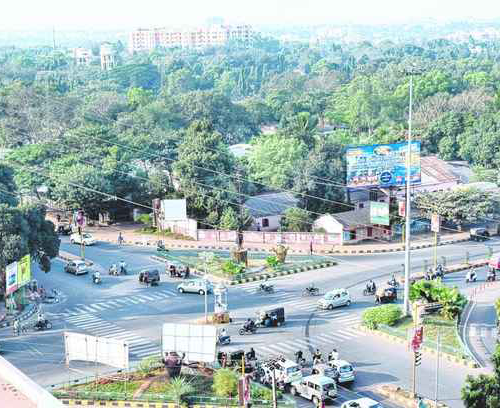
Our unique urban/ regional planning solutions assist the user to develop integrated spatial planning of the urban area/region. Urban and regional planning authorities effectively use GIS to identify issues and respond to them efficiently for delivering various citizen centric services.
Our Urban Areas division has been providing key information support to various urban local bodies (local government such as municipal corporations, municipalities), city development authorities, regional and town planning authorities assisting them in dissemination of various land related information such as ownership, prescriptive use, pricing, zoning, availability of physical infrastructure, information on social amenities, etc. for public benefit.
Apart from geo-database specialists and software developers, the team comprises of urban planners, transport planners and engineers who bring in the necessary domain to enable us to deliver robust and efficient solutions for urban area management.

- Property Tax Mapping and Monitoring.
- Urban Asset Mapping and Monitoring.
- Preparation/Updation of Urban base maps using Remote sensing and Photogrammetry.
- Preparation of Urban Land Use Development Plan.
- Preparation of Regional/Zonal plans.
- Sector specific studies and preparation of detailed project reports for slum area development, urban water supply, drainage, sewerage and solid waste, urban transport, environmental conservation, etc.
- Planning of Solid Waste Management infrastructure including routing for collection, storage and processing/recycling of solid wastes.
