Survey

Surveying is the science and art of making all essential measurements to determine the relative position of points or physical and cultural details above, on, or beneath the surface of the Earth, and to depict them in a usable form, or to establish the position of points or details. Surveying is the technique, profession, and science of determining the terrestrial or three-dimensional positions of points and the distances and angles between them. Surveying has been an element in the development of the human environment since the beginning of recorded history. The planning and execution of most forms of construction require it. It is also used in transport, communications, mapping, and the definition of legal boundaries for land ownership. It is an important tool for research in many other scientific disciplines. Surveyors work with elements of geometry, trigonometry, regression analysis, physics, engineering, metrology, programming languages, and the law.
  • GPS or Global Positioning System provides location and time information in all weather conditions, anywhere on or near the Earth where there is an unobstructed line of sight to four or more GPS satellites. It is used in ground truthing of land use land cover maps.
  • DGPS or Differential GPS survey provides improved location accuracy, from the 15-meter nominal GPS accuracy to about 10 cm in case of the best implementations. It is undertaken in two methods: Real Time Kinetic mode and Rapid Static mode. In both the methods, primary control points (PCPs) are required to be set up before taking up detailed survey on all pillar positions that compose the forest area.
  • TS or total survey is an electronic/optical instrument used in modern surveying and building construction. It is useful to the mining, electrical and mechanical industries.
  • ETS is used determine geo-coordinates of secondary control points. Integrated ETS equipment is used to conduct such surveys. They are useful for forestry surveys.
  • Drone is a method of collecting geomatics or other imagery by using UAVs. It provides surveyors and GIS professionals with the most accurate quality data. Drones capture data that can be used in a wide-variety of mapping applications like Automated mapping, Cadastral surveying, LiDAR mapping, Volumetric calculations etc.
  • Underground Ground Forgein Utility Survey uses the latest technology with expert methods to explore detectable features underground. With a suite of technology, including Ground Penetrating Radar and Electro-Magnetic Locators (EML), analysis of reflected signals from structures, services, buried objects and layers beneath the ground is done. With statutory record plans, visual inspections of all lifted service covers on site – Technics creates an accurate plan of the subsurface environment in multiple formats including 3D.

We provide Satellite controlled survey solutions through hand GPS, DGPS, RTK. This is very highly accurate method of modern surveying for transferring Benchmark from a long distance and to collect global coordinates very precisely.

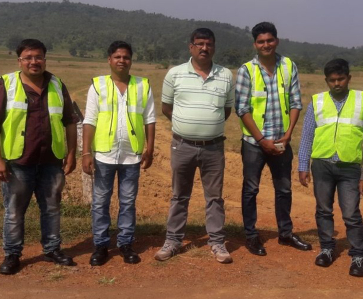
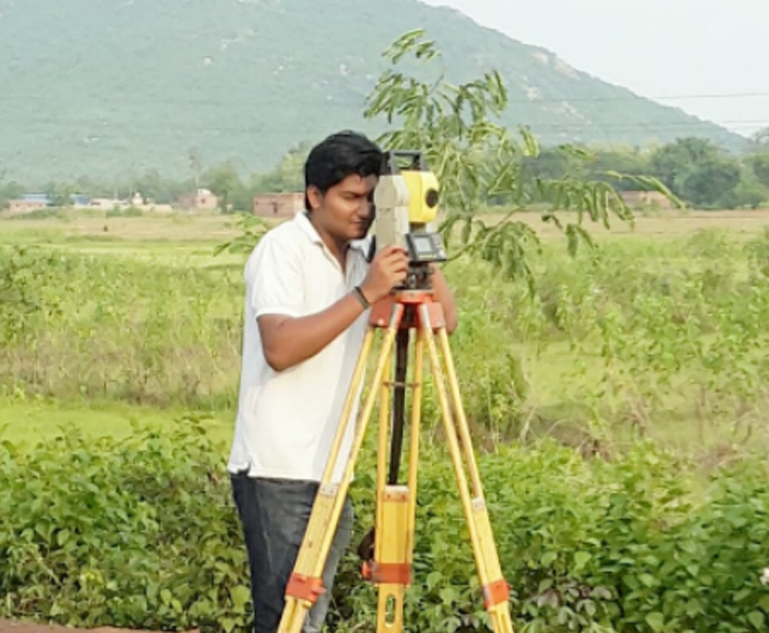
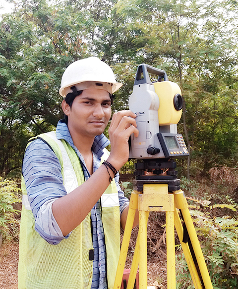
Our range of services is inclusive of Control surveys, Boundary surveys, Topographic Land surveys, setting out surveys, Route Surveys, Volume calculations. There is a great demand for these in varied kinds of project management requirements and civil and structural engineering. Our services are renowned for being prompt, relevant, effective and accurate. In our field operations, we use cutting edge technologies, and all of the latest office processing and GIS/CAD software. Our Services include:
  • Topographical Survey
  • Rote Survey
  • Contour Survey
  • Land Survey
  • Control Survey
  • Letting out Survey
  • Levelling Survey