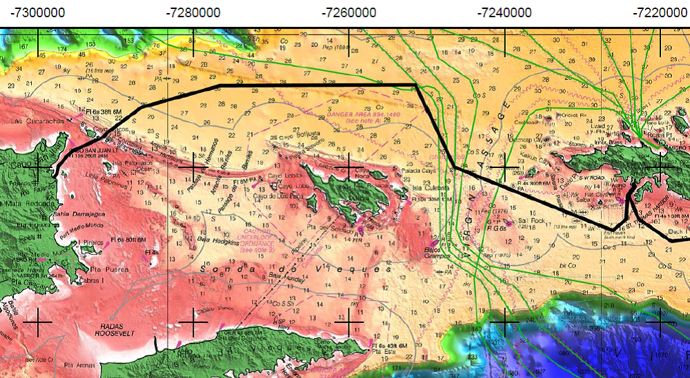
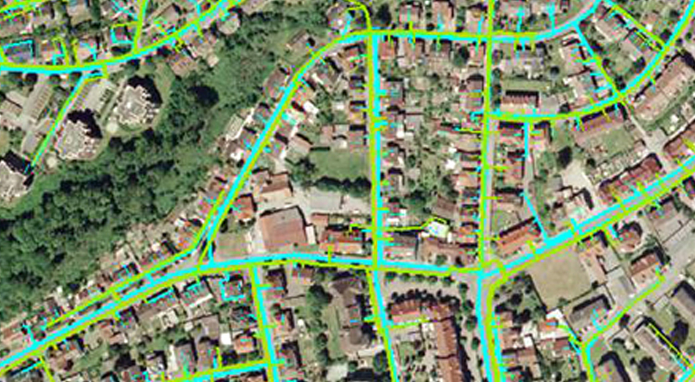
With many years of research and real life experience in all territories of the Geographical Information System (GIS) domain, we provide successful and accurate execution of your GIS related projects. For any research project, the essential and important point with GIS mapping data is registering a map with the correct real world coordinates. If the maps are not georeferenced, no other information can be displayed over or positioned under the map coverage. With our GIS services, we offer accurate georeferencing / geocoding of your projects at affordable prices. We are capable of various geospatial analytical procedures for users in agriculture, transport, electrical network, water supplies, sewage, etc.