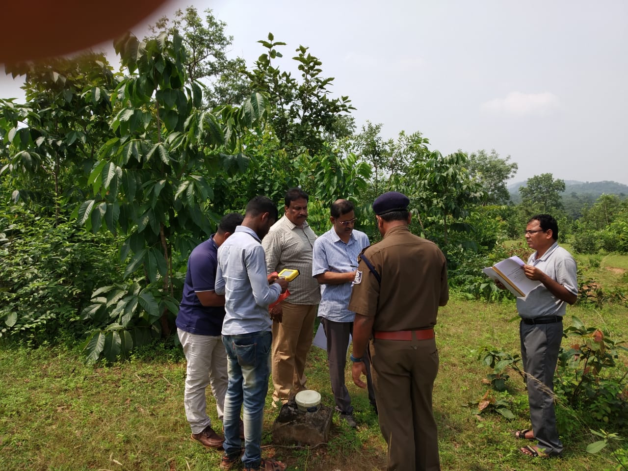
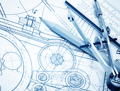
Services

Forest Diversion​

Compensatory Afforestation (CA) refers to afforestation and regeneration activities carried out as a way of compensating for forest land diverted to non-forest purposes. Here “non-forest purpose” means the breaking up or clearing of any forest land or a portion thereof for…

Engineering

It is the application of knowledge in the form of science, mathematics, and empirical evidence, to the innovation, design, construction, operation and maintenance of structures, machines, materials, devices, systems, processes, and organizations…

GIS

A geographic information system (GIS) is a system designed to capture, store, manipulate, analyze, manage, and present spatial or geographic data. GIS applications are tools that allow users to create interactive queries…

Remote Sensing​

It is a closely aligned technology to photogrammetry in that it also collects information from imagery. The term is derived from the fact that information about objects and features is collected without coming into contact with them. Where remote sensing…

Photogrammetry

Photogrammetry, as its name implies, is a 3-dimensional coordinate measuring technique that uses photographs as the fundamental medium for metrology (or measurement). The fundamental principle used by Photogrammetry is …

Information Technology​

It is a system designed to capture, store, manipulate, analyze, manage, and present spatial or geographic data. These applications are tools that allow users to create interactive queries (user-created searches), analyze spatial information…