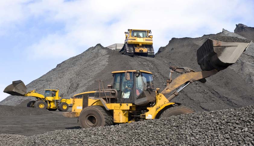
The business of mineral exploration and extraction is inherently spatial. Mines cover large expanses of land and the mine managers require access to volumes of location based information to guide the operation. DCS’s GIS solutions help mining professionals to meet the complex challenges of running the mine operation by providing the necessary with tools to compile, process, display, analyze and archive volumes of spatial-temporal data.

- Solution which helps mining companies to comprehensively maintain lease information, mining plan information and environment related information in a geo-referenced environment (as being mandated by Government of India). It helps user target mineral exploration, evaluate mining condition, prepare mining plan, track mineral transport, assess environmental impact, plan reclamation, process closure, improve facility management, manage land titles, etc.
- GIS based Mines Information System for Regulators for issue of mining permits
- Mine Asset Tracking and Production Monitoring.
- Geo-referencing of mine lease area, forest area, safety zones, compensatory afforestation using DGPS (mandated by IBM and MoEF).
- Land use monitoring through Satellite Remote Sensing.
