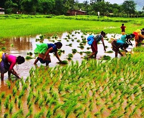
DCS assists policy makers, agriculture scientists, farm managers and farmers to make best use of geographic information for efficient agricultural planning, enhancement of production at reduced cost and optimal management of crop lands.
The service includes:
- Formulation of GIS based agriculture land use plans
- GIS based Farmers Information System
- Remote sensing based crop acreage analysis
- Mobile based location information for crop specific water management
- Location based crop land information collection for production planning
- Mobile GIS for farm management